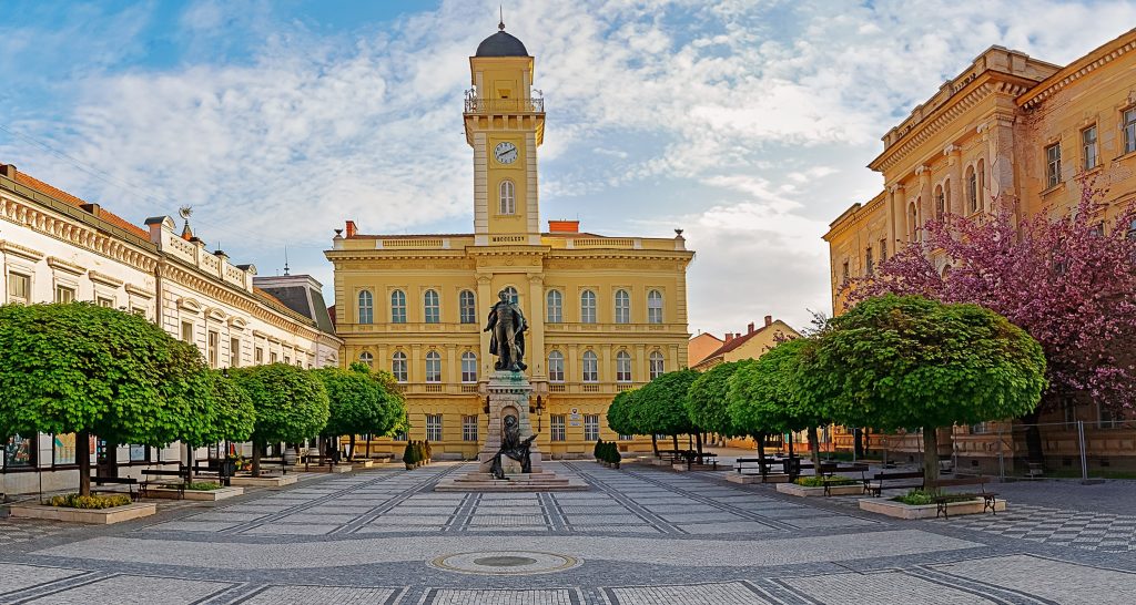
It is not only the southern-most but also the lowest-lying place in Slovakia. There are a number of acacia groves abound in nectar, willow woods and poplars by the rivers and some smaller sandy hills in the north east part of the region.
The region includes 40 communities and it has a population of 108911 who live on an area of 1045 square kilometers. It is one of the most fertile lands in Slovakia and as a result people grow grain, fruits and vegetables. It is famous for its natural reservations with a lot of different species of animals, protected flora and rivers with plenty of fish. The thermal spas which have therapeutic effects are used till late autumn. The region of Komarno provides the tourists with accommodation in five hotels, three guest-houses, three tourist houses and one car camping with a wholeyear`s operation.
Komarno is part of the Danubian route as much as the paprika seasoning is part of a fried Danubian dill. Barges, tugboats furrow the river the whole year unless they have to stop because of the low water level or ice. The passenger water transport which gives a chance to take in the country more thoroughly is also flourishing.
The characteristic features of the area of Komarno
The territory of the Komarno region is part of the Danubian lowland which takes up an area of 10 000 square kilometers. The whole area belongs to the so-called “Small Danubian basin” which is situated between the Alps and the Carpathians. It consists of two different parts. One of them is formed by the flood plain of the river Danube and its tributaries. This part is of flat character and it is called the Danubian plains. The other one, the Danubian highlands, lies in the direction of the mountains from the Danubian plains. It is largely of hilly character.
Komarno is situated pretty much in the lowland. It is between 100 – 270 metres above the sea level.
It is not only the southern-most but also the lowest-lying place in Slovakia.
The Danubian lowland is formed by river aggradations covered in some places by sandy loess. Most of the materials were placed by the river Danube and this is the way how the river created an extensive 30-km-wide plain. Basically, it is possible to say that in the past this river with its dominant position formed and defined the character of the territory where Komarno is situated. Even today the river has a great influence on the area.
The collaboration of some other rivers – Váh, Nitra, “Little” Danube, Zitava – which flow through this region is very significant. These rivers together with the system of backwaters, swamps, open sheet of water, canals give the character of the Danubian lowland.
Thanks to its location, geomorphological development and advantageous climate there is a great potential for agriculture in this region. The growing season is very long which makes it possible to grow delicate crops too.